Transportation in Las Vegas
|
Images from the left:
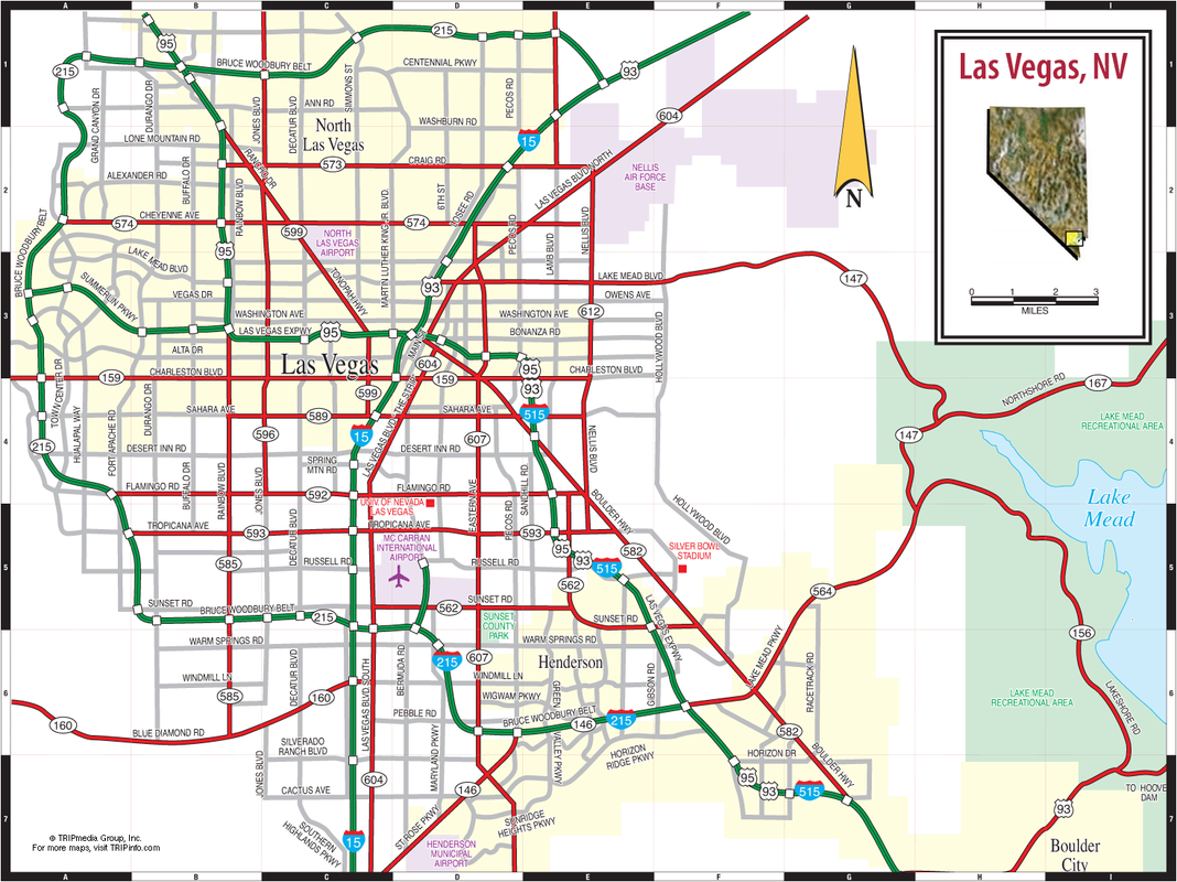
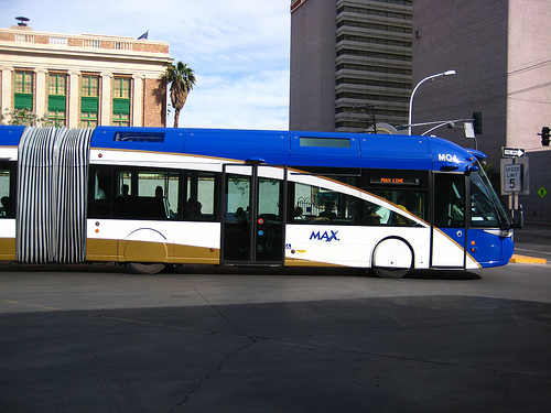
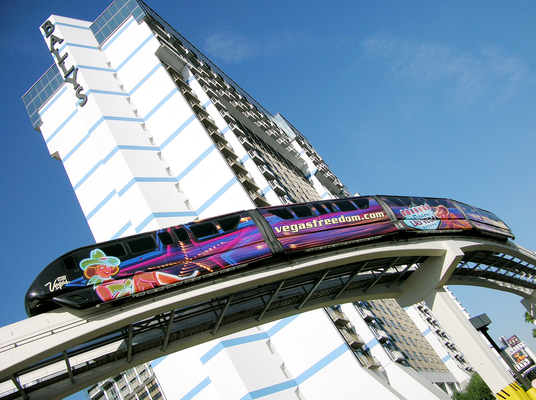
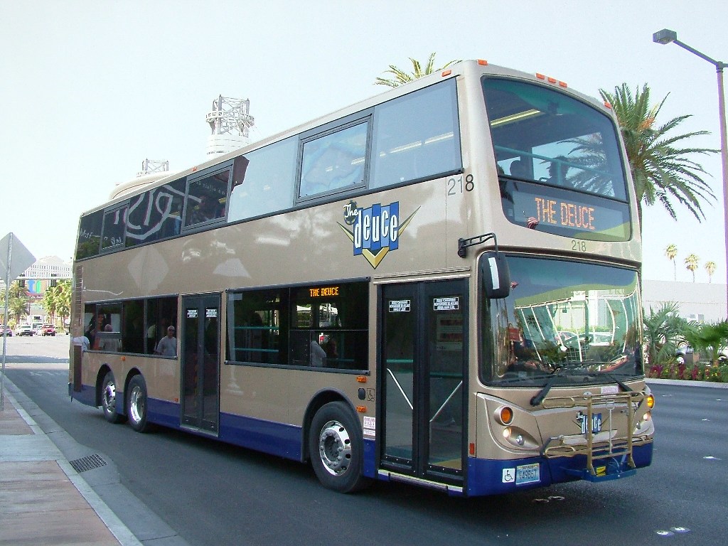
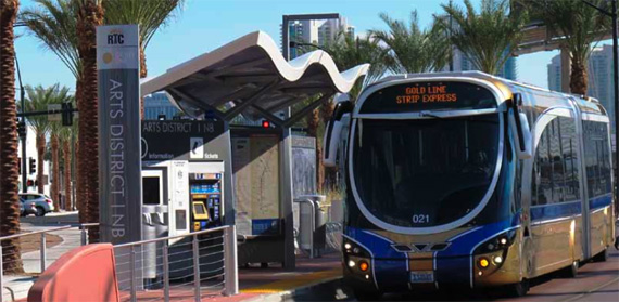
1. Transportation Map of Las Vegas 2. RTC Transit 3. Las Vegas Monorail - connects major hotels and attractions 4. The Deuce - a double-deck bus runs 24 hours a day, 7 days a week along the Strip of Las Vegas 5. RTC Transit |
The use of automobiles remains to be the most popular mode of transportation; however, the use of automobiles within the city leads to congestion and traffic (3). Thus the city of Las Vegas works to provide other forms of transportation that are just as reliable.
The city of Las Vegas remains as one of the most walkable cities in the nation and still seeks to improve pedestrianism within the city. On the other hand, a bicycle system within the city is rare, if not nonexistent (1).
A bus rapid transit link in Las Vegas called the Strip & Downtown Express connects Downtown Las Vegas, the Strip, the Las Vegas Convention Center, and Town Square (2). Imposing this bus system called for the removal of traffic lanes and, consequently, greater congestion in streets; however, it nonetheless promoted public transportation.
Furthermore, the Las Vegas Monorail connects different buildings and casinos on the Strip. This monorail is projected to expand on a greater level to connect to the Las Vegas International Airport as well.
Reference
1. Downtown Action Plan. (2013). Retrieved from http://www.nado.org/wp-content/uploads/2013/01/Downtown_Action_Plan.pdf
2. Transport revolutions: Viva Las Vegas? (Jun. 2012) .Retrieved from http://blog.ecotrust.org/transport-revolutions-viva-las-vegas/
3. Regional Transportation Plan 2009 - 2030. (Nov. 2008). Retrieved from http://www.rtcsouthernnevada.com/wp-content/uploads/2012/06/Cover_toc_es.pdf
Images (From left to right)
1. Retrieved from http://mapsof.net/map/las-vegas-transport-map
2. Retrieved from http://thecityfix.com/blog/brt-hits-the-las-vegas-strip/
3. Retrieved from http://www.destinationsplus.org/inner/sydney/Las_Vegas_Monorail_OM-HR.jpg
4. Retrieved from http://blog.naver.com/PostView.nhn?blogId=reedtour&logNo=70080115035&parentCategoryNo=40&viewDate=¤tPage=1&list
5. Retrieved from http://www.streetsblog.org/wp-content/uploads/2011/05/vegas_sdx.jpg
